Enhancing Stream Field Data Collection Methods Using ArcGIS FieldMaps
Jenny Sawyer
Rick Anthes, Jr.,
Michael Romankiewicz
Philadelphia Water Department
Philadelphia, PA
Authors: Jenny Sawyer, Michael Romankiewicz, Jiujia Guo, Rick Anthes Jr.
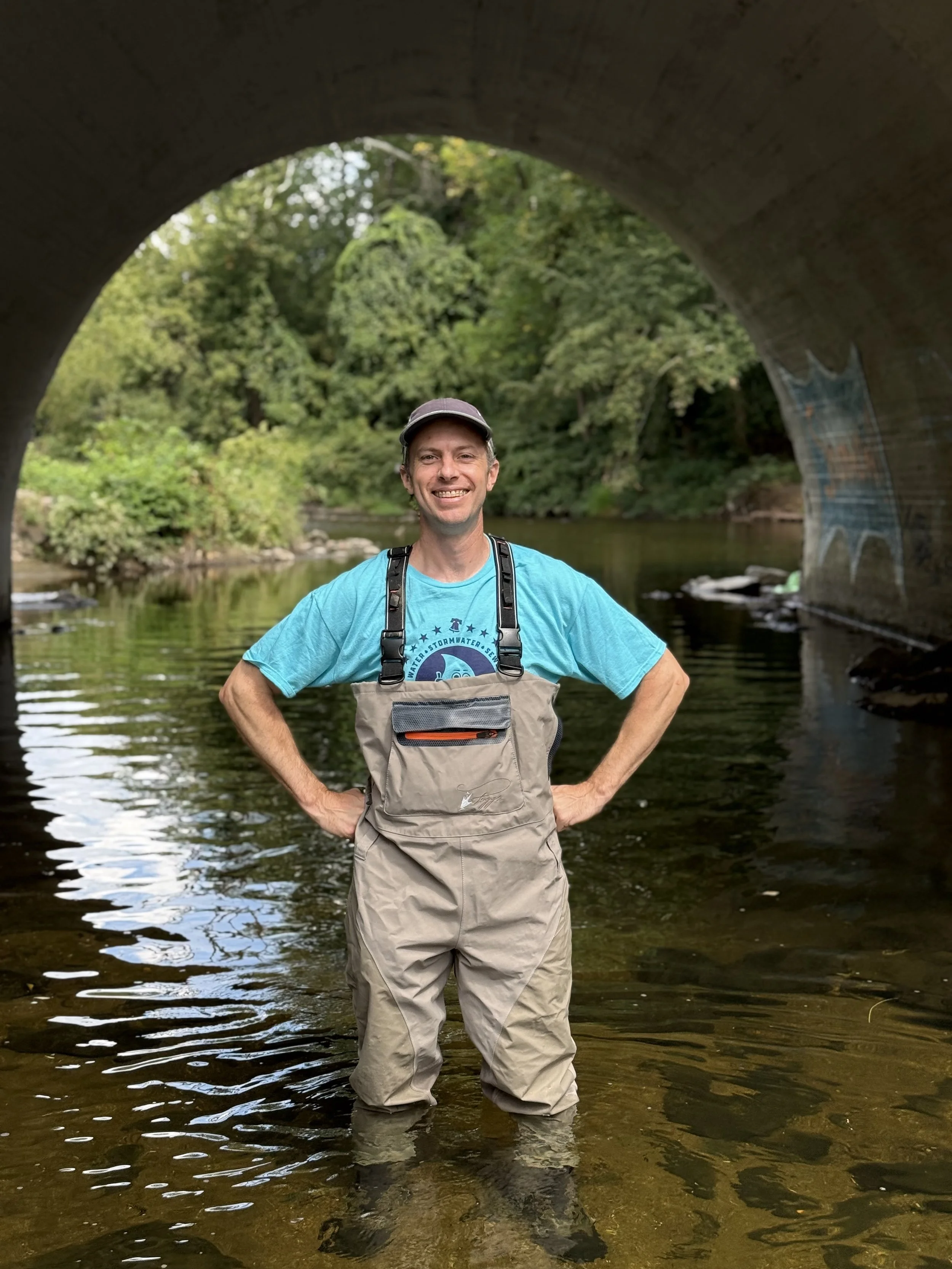
The Ecological Restoration Planning team at the Philadelphia Water Department conducts visual assessments on streams and PWD-owned riparian assets for capital project identification and prioritization for infrastructure protection and habitat enhancement.
Previously, field staff took paper maps to the field, recorded field data observations with pen and paper, and completed digital data entry and photo processing after returning to the office. To improve assessment efficiency and locational precision, GIS staff worked with the Ecological Restoration team to design a digital field data collection process using the ArcGIS Field Maps mobile platform. Developing the digital field data collection process required GIS staff to build and integrate customized infrastructure reference layers, related inspections tables, and infrastructure assessment forms in ArcGIS Field Maps and the ArcGIS Online platforms. The new process is expected to result in many positive impacts for the Ecological Restoration Planning team, including simplified data entry, increased efficiency of field visits, increased data accuracy and consistency, and the ability to track previous inspections and easily compare conditions over time. This presentation will summarize the development of the data collection process using ArcGIS Field Maps and highlight the resulting process improvements for the Ecological Restoration Planning team.

About Jenny Sawyer
Jenny Sawyer has a Professional Science Masters in GIS from Temple University and has been working as a GIS Specialist at the Philadelphia Water Department for the past six years. At PWD, she creates and maintains GIS datasets, and leads spatial data analysis, reporting, and visualization projects to support the Green Stormwater Infrastructure Planning and Ecological Restoration Planning teams. For the past year and a half, Jenny has been leading the development of a digital field data collection workflow using ArcGIS Field Maps to support PWD's Stream Assessment Monitoring Program. She is excited to be expanding her existing skills to include field data collection, app development and web GIS.

About Rick Anthes, Jr.,
Rick Anthes leads the Philadelphia Water Department’s Ecological Restoration Planning team. This team identifies, prioritizes and plans stream restoration projects for infrastructure protection and ecological uplift. He earned his undergraduate degree from the University of Massachusetts and a master’s degree in environmental science from Drexel University.
About Michael Romankiewicz
Michael Romankiewicz has worked at the Philadelphia Water Department in a variety of GIS roles and capacities for the past 15 years. He currently serves as Team Lead for the Planning Analytics team where he oversees efforts to implement a range of GIS-based technology, analyses and solutions to support PWD’s Green Stormwater Infrastructure and Ecological Restoration Planning projects. When not poring over maps and data, he unplugs by hiking, practicing yoga, typing on his typewriter and running along the Schuylkill River.