Design Challenges in Sand Bed Stream Systems Within the Mississippi Valley Loess Plains (74b) and How Design Parameters Relate to the New Stream Quantification Tool: Challenges & Perspectives of Practitioners
Clark Chewning, PE, CFM
Caleb A. Duke, MS, PWS, TNQHP
Civil & Environmental Consultants, Inc.
Franklin, TN
Authors: Chewning, Clark & Hertwig, Casey
The Stream Quantification Tool (SQT) is the new methodology approved in Tennessee to assess mitigation potential by comparing existing stream conditions to proposed conditions to determine functional lift (credits). The authors will present challenges and perspectives in evaluating existing stream reaches using the SQT as well as applying it during the mitigation design process. The authors will compare design goals and how they relate to existing and proposed condition scores on the SQT worksheet.
A proposed stream mitigation bank, located in Fayette County, TN, Ecoregion 74b, will be used as an example to illustrate how design goals compare to parameters in the SQT spreadsheet. This site is more than 800 acres in size and is located in the Wolf River Watershed. The site consists of more than four miles of streams that have been ditched, channelized and disconnected from their historic valley and contributing watershed. Existing ditches are over-widened and incised leaving streams with no lateral floodplain connectivity. The site also contains more than 350 acres of prior converted wetland adjacent to the channelized streams.
The design for this project involves Priority I restoration through sandy soil substrate. This presents several challenges for the proposed design. Primary design goals for stream restoration include reconnecting streams to their natural watershed, restoring floodplain connectivity, restoring natural sediment transport, installing large woody debris to promote stability and restore bedform diversity, and restoring a native riparian buffer. The authors will discuss how all of these goals fit into the SQT worksheet and the challenges of balancing SQT credit generation without compromising the functional design. The overall objective of the project is to create a bottomland hardwood stream and wetland complex that function in equilibrium similar to reference habitat in the upper reaches of the Wolf River. Currently the agencies have reviewed and commented on the Draft MBI for this project and the Final MBI will be submitted within 30 days. The plan is for this bank to begin construction by early summer of 2020. The authors may provide construction progress updates in closing.
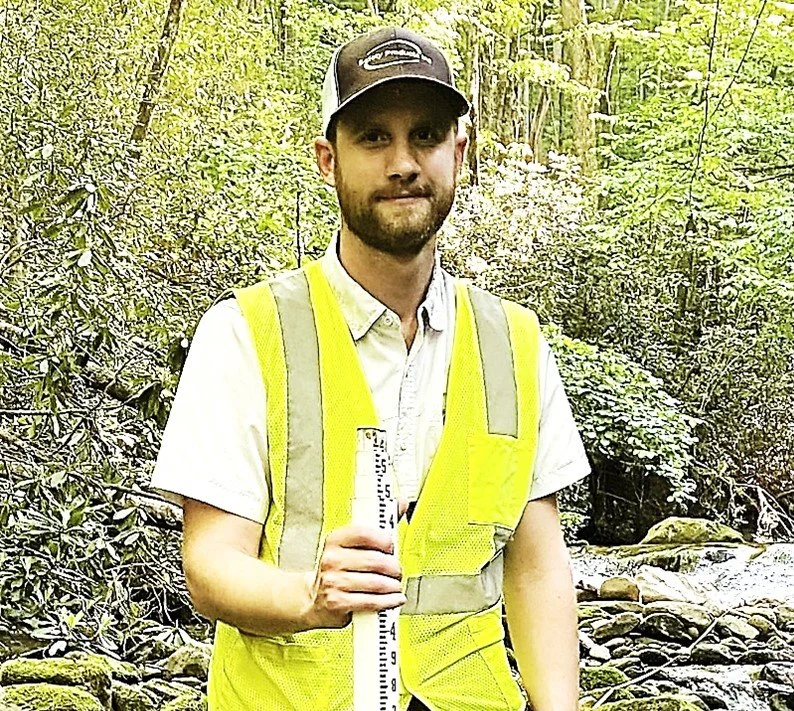
About Clark Chewning
Mr. Chewning is a water resources professional engineer with over 11 years of experience in both the public and private sectors across the Southeastern United States. He has been with CEC for over 3 years and focuses on stream restoration and stream assessments. His expertise includes natural channel design, AutoCAD Civil 3D, hydrologic & hydraulic modeling, municipal engineering, stormwater and floodplain management/permitting, and construction oversight.
Caleb A. Duke, MS, PWS, TNQHP
Mr. Duke is a project manager in the ecological group at CEC. He’s been at CEC more than 8 years and has a Natural Resources Management degree from the University of Tennessee-Martin and a Master of Science from Auburn University. Mr. Duke has experience in ecological and environmental studies throughout Tennessee, Ohio, and Pennsylvania. He is both knowledgeable and experienced in wetland delineation and assessments, stream and wetland restoration, stream surveys, determinations, and assessments.


