Stream Assessment in a High School Problem-Based Learning Geology Course
Michael J. Smith, PhD
University School
Hunting Valley, OH
This talk will illustrate the benefit of building partnerships between stream experts and classroom teachers. For the past two years, 17 high school juniors and seniors in my problem-based learning geology class investigated streambank erosion at the request of a homeowner’s association in Bainbridge Township, Ohio. The stream (McFarland Creek) drains 11-square miles in a rural county that is 50% forested. Past high rainfall events have brought floodwaters near homes and displaced footbridges. Two homeowners spent $100,000 building an engineered wall to combat bank erosion and property loss, and 120 homes are under construction upstream. Near the wall, a 20-foot bank of alluvium and glacial till is eroding at an estimated rate of five feet per year and will eventually threaten the development’s main sewer line and road. Given that stream assessment and natural channel design lie outside the scope of most geology curricula, students watched videos of stream assessment techniques, read online manuals, and worked under the guidance of local and national experts to assess the stream. Following protocols and techniques outlined in Wildland Hydrology’s Applied Fluvial Geomorphology Field Manual students measured five cross-sections, a longitudinal profile, Wolman pebble counts, streambank photography, sketch map, and general hydraulic geometry. Students calculated gradient, sinuosity, mapped meander migration patterns, and estimated bank erosion rates. They prepared an initial assessment report in December 2022 and presented their results and initial recommendations to homeowners. Since then, the author attended Level I and Level II training at Wildland Hydrology. A new class of students remeasured and rephotographed the stream in November 2023, overlaid the 2022 and 2023 cross-sections to investigate changes in stream, and added drone photography. Students are currently preparing an updated report which includes ways to improve riparian vegetation and describing how toe-wood can be used to stabilize the large eroding bank.
The 2022 report can be accessed here:
https://drive.google.com/file/d/1uwpr_flu4LpB50MNTi9zuWKDZa2yhr46/view?usp=sharing
About Michael J. Smith, PhD
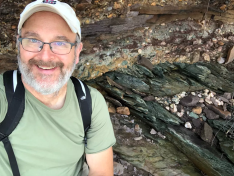
Michael Smith is in his 33rd year as an earth science educator and teaches geology, AP Environmental Science, oceanography, and biology at University School in Hunting Valley, Ohio. He has a BA in Geology from the College of Wooster, MA in Geology from Rice University, and a doctorate in Science Education from the University of Pittsburgh. As AGI's Director of Education and Outreach from 1998 to 2004, he managed ten NSF-funded projects and co-edited the EarthComm and Investigating Earth Systems textbook programs and the national Earth Science Week program. Dr. Smith served NESTA as its Secretary, Journal Editor, and Eastern Region Director and the NAGT as Eastern Section President. He received the Maurice Ewing Fellowship in Geology at Rice, Outstanding Educator Award from Kappa Delta Pi, NESTA's Distinguished Service Award, and NAGT Outstanding Earth Science Teacher Awards for the Central Section (2019), Delaware (2007), and Pennsylvania (1991).

